August 8, 2011
My brother JJ and I decided to try and knock out four fourteeners on one day. We took Highway 24 to Colorado 9 to the town of Alma, we turned left on county road 8 and followed the signs to the Kite Lake trailhead and campground. County Road 8 is over six miles of dirt road and towards the end of this road you need to have something with good clearance to make it to the official parking lot. We took my Nissan Rogue which did fine with careful driving. It's $3 to park here, so we paid it and started out.
The trail is supposed to be approximately 8 miles, it seemed much longer for several reasons. One is that we decided to leave our jackets in the car (even after talking about how important it is to always be prepared). The last three mountains I had done this week were hot the whole way even at the top, these were not. The wind was fast enough to blow your mouth open if you were facing it and it was cold enough to completely freeze your runny nose. So like idiots we did all four in a t-shirt and shorts.
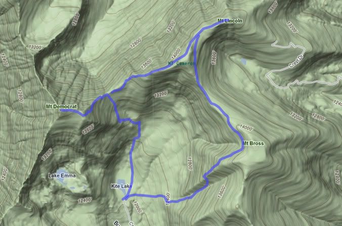
If you are wondering how you do four fourteeners in a day this is the route we took. Start from Kite Lake, go up to Mt. Democrat first, make your way to Mt. Cameron, then Lincoln, then Bross, you come down the south side of Bross back to Kite lake.
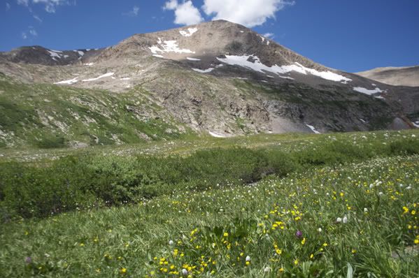
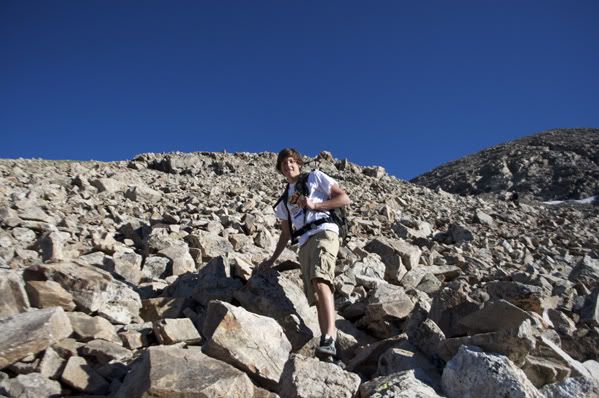
We hiked past Kite Lake and made our ascent up Mt. Democrat. This Mountain had a convincing false summit which was very discouraging. The trail was mostly sharp rocks the entire way up.
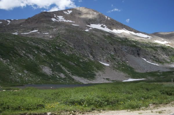
Mt. Democrat
Looking back at Kite Lake
Sharp Rocky Trail
More Pika!

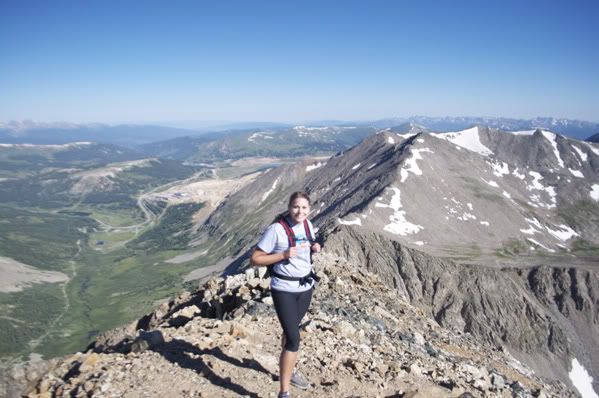
Finally made it to the summit of MT. Democrat! Elevation 14,148'
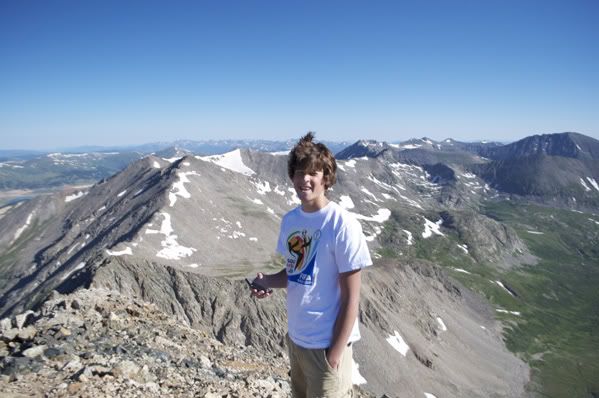
JJ on the summit of Democrat
So we had finished the first one and the trail wasn't too bad, we were just discouraged because of how cold we were. We decided to continue down Democrat and make our way to Cameron.
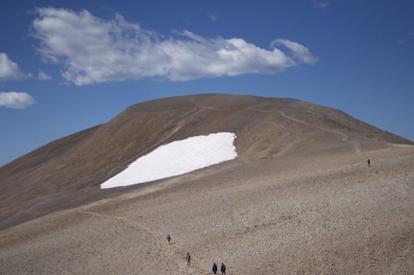
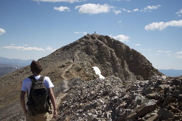
Mt. Cameron, almost there.
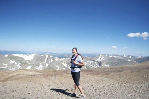
Summit of Mt. Cameron. Elevation 14,222'
JJ on the Summit of Cameron
Cameron was on the way to Lincoln, the top was flat and easy to summit. Cameron is not considered an official fourteener because of something to do with the distance between Lincoln and Cameron, or maybe it's the distance of the summit of Cameron from the saddle... I don't know. But it's still 14,222' high.
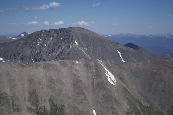
The Summit of Lincoln as seen from Cameron
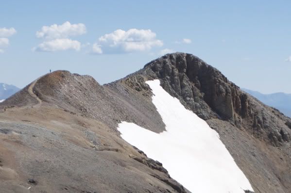
Almost there!
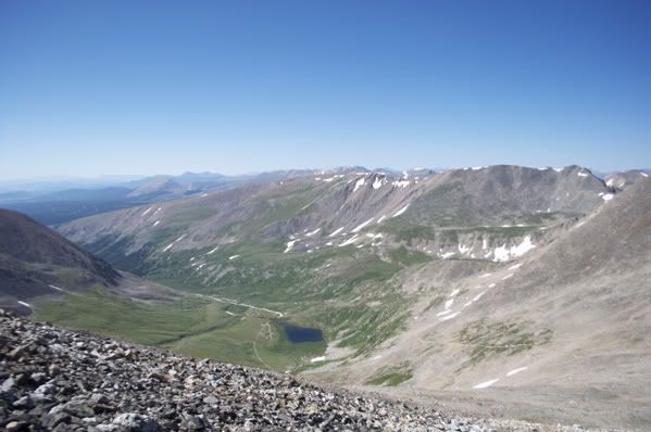
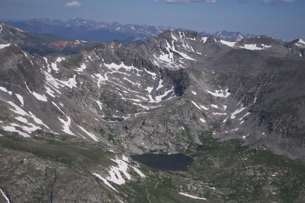
Wheeler Lake from Lincoln
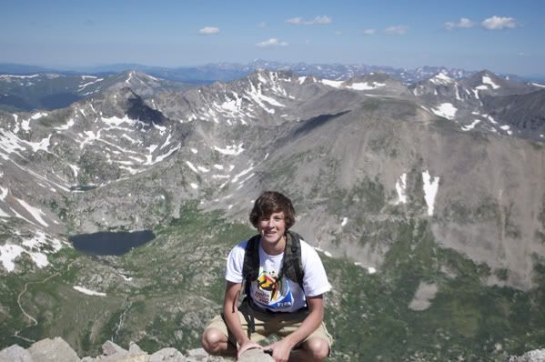
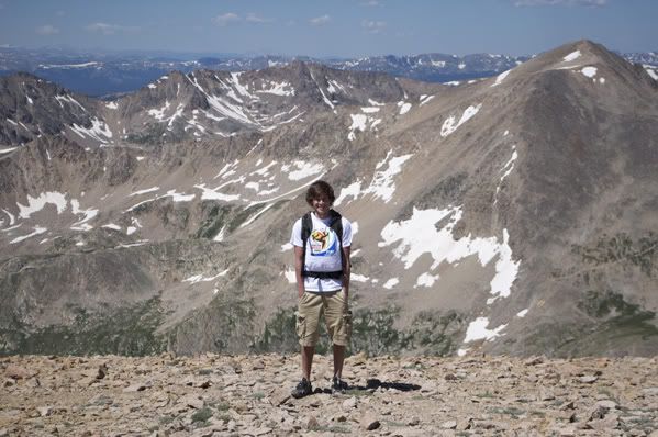
Summit of Mt. Lincoln 14, 286
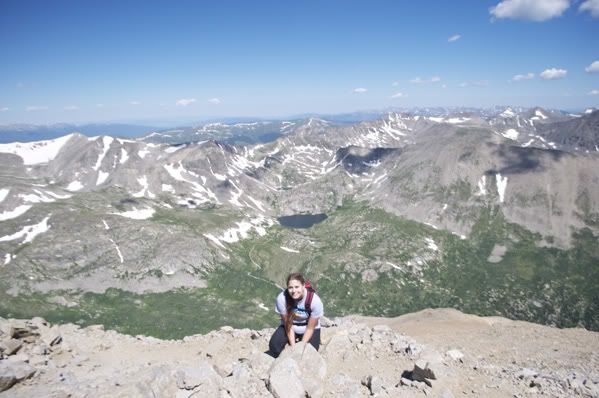
JJ on the Summit of Lincoln
We were done with three of them and absolutely freezing, Bross looked further than we wanted it to but we continued anyways.
Bross from Lincoln
Eventually we made it to the Summit of Bross. Elevation 14,172'
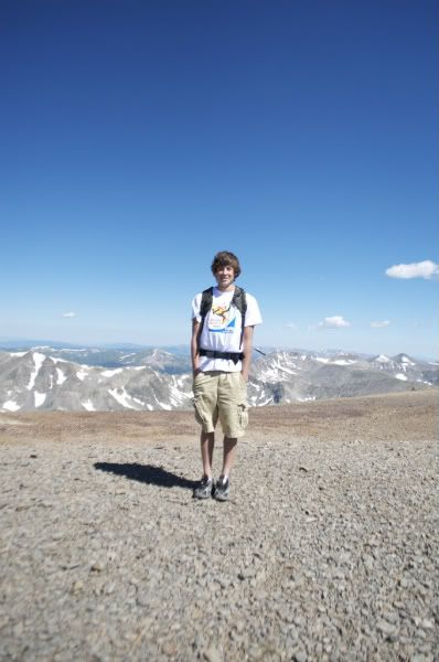
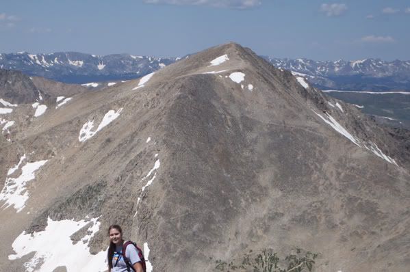
Me on the Summit of Bross, you can see the first fourteener of the day Mt. Democrat directly behind me.
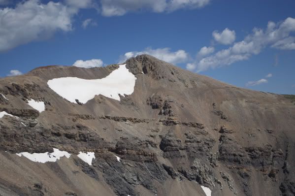
This is the view of Mt. Lincoln from Bross
At this point, we were done. Unable to feel our hands or faces, we started to head down the south side of Bross. This was by far the worst part of the trip. The trail was steep, rocky, dangerous, and hard on the knees. I would never go down this trail again, if I had to do this group again I would start by going UP this trail and down the way we had come from. This was extremely dangerous. It felt like it took longer to go down the south side of Mt. Bross than it did to summit all four mountains.
Eventually we made it down without dying.
Looking back up the south side of Bross
Almost done!
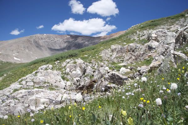
Flowers!

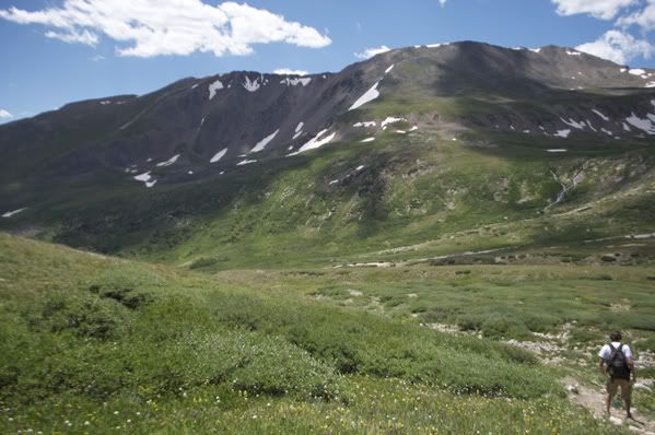
Looking back at Mt. Democrat
Overall this hike would have been great if we had gone up Bross first and brought coats. It wasn't too strenuous of a hike considering what you are accomplishing and its scenic and pretty. I would recommend this group of fourteeners just bring a jacket and start with Bross first.


